Data engineering · Agriculture
Farm data platform and analytics
We build a farm data platform and analytics for agricultural enterprises: field-level data from machines, satellites, weather, soil labs and sensors brought into one governed platform, with yield map cleaning, zone management, benchmarking and analytics on the combination. Agronomists and managers get questions answered across seasons, fields and farms, data sharing is controlled by permission, and you own the platform and the code.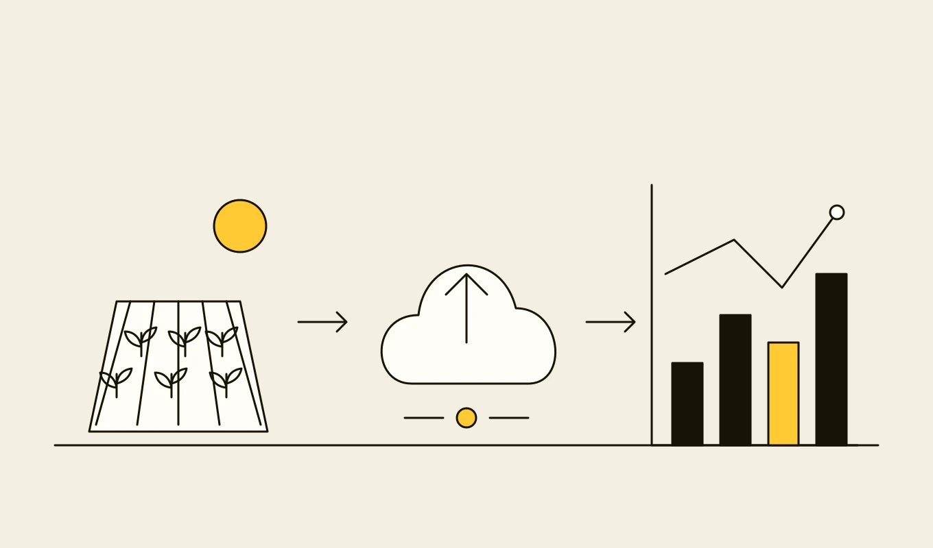
Checklist · Agriculture
Agri ERP and traceability requirements checklist
A requirements checklist for farm management, dealer, grain and field systems, with the records and geolocation that deforestation and food traceability rules ask for.- 01Eight requirement areas from the field register to compliance records.
- 02What plot-level geolocation and chain-of-custody records need to contain.
- 03Items for field apps that work without a mobile signal.
- 04Seven questions to put to any vendor or development partner.
Free download
Get it on screen in a few seconds.
What the system does, module by module.
- 01
Field and boundary master data
A single set of fields and boundaries used by every data source, with history of changes and mapping to external identifiers. - 02
Machine data ingestion
Import of yield, application and as-planted data from machines through task files and manufacturer interfaces, matched to fields and operations. - 03
Satellite and aerial imagery
Retrieval and processing of satellite imagery into field-level vegetation indices over time, with cloud masking and consistent geometry. - 04
Weather and climate data
Station, gridded and forecast weather data attached to fields, with derived measures such as growing degree days and rainfall totals. - 05
Soil and laboratory data
Soil and tissue sample results, with sampling locations, laboratory methods and the mapping of results to zones. - 06
Yield map cleaning and processing
Filtering of errors in yield data, correction for delays and calibration, and production of reliable yield maps and statistics. - 07
Management zones and prescriptions
Zones from yield, imagery and soil data, and variable-rate prescriptions exported in the formats machines read. - 08
Benchmarking and analytics
Comparison of fields, varieties, practices and years, with models of yield drivers and the effect of inputs. - 09
Data sharing and APIs
Permission-based sharing with advisers, buyers and software vendors, and APIs for analytics and applications.
Reference architecture.
Standards and interfaces
What we design against.
- ISO 11783 and ISOXML
- The task-file format for exchanging field operations, prescriptions and results with machines.
- ADAPT framework and agroXML
- Open frameworks and schemas for converting between agricultural data formats.
- STAC and cloud-optimised formats
- The SpatioTemporal Asset Catalog, cloud-optimised GeoTIFF and GeoParquet for efficient access to large imagery and vector data.
- OGC services and GeoJSON
- Web map and feature services and simple geometry exchange for field boundaries and maps.
- Open satellite programmes
- Freely available imagery such as Sentinel-2 and Landsat, with documented processing levels and limitations.
- Data ownership and sharing principles
- Codes of conduct on agricultural data that set rules on ownership, consent and transparency.
Data model
The core entities.
- Field and boundary
- Geometry, area, farm, identifiers in other systems and the history of boundary changes.
- Operation and observation
- Type, time, area, product, rate and the source machine or person.
- Yield point and map
- Raw and cleaned yield values, location, time and processing parameters.
- Image and index
- Scene, date, quality mask, index values and the field statistics derived.
- Weather series
- Source, variable, time and location or grid cell, with derived measures.
- Sample and result
- Location, depth, method, laboratory and measured values.
- Data share
- Dataset, recipient, purpose, permission, start and end.
When custom development is the right call.
Controls designed in, not added later.
Data ownership
Each farm or grower owns its data, and sharing happens only by explicit, revocable permission.Role-based access
Farm managers, advisers, analysts and partners see only the fields and data they are entitled to.Lineage and versions
Processing steps and parameters are recorded, so a map or statistic can be reproduced.Secure ingestion
Connections to machine platforms use scoped tokens with expiry, and credentials are managed centrally.Backup and export
Tested backups and export of all data in open formats.
From discovery to a system you run.
- 01
Data and questions review
We list the data sources, formats and the questions agronomists and managers want answered, with farms and advisers. - 02
Field master data and architecture
The field register, identifiers, storage and processing architecture and sharing model are designed. - 03
Ingest the first sources
Machine, imagery and weather feeds are connected for a first group of farms, and results are checked with agronomists. - 04
Add cleaning, zones and benchmarking
Yield cleaning, zones and benchmarking are added, and used in the next season's planning. - 05
Share and extend
Sharing, APIs and further sources, farms and models are added over the seasons.
Relevant work
Where to see our work.
Related
Keep reading.
Common questions.
- Do we need all of this, or just a farm management product?
- A farm management product is often enough. A farm data platform is for enterprises that need to combine many sources across farms and countries, run their own analytics and control how data is shared.
- How do you deal with errors in yield data?
- Yield data is filtered and corrected for known issues such as machine delays, start and stop effects, calibration and speed changes. The raw data is kept, and the processing parameters are recorded.
- Which satellite data do you use?
- Open programmes such as Sentinel-2 and Landsat are the default, with commercial imagery where higher resolution or frequency is needed. Imagery is processed into field-level indices with cloud masking.
- Can machines receive prescriptions from the platform?
- Yes, through task files in the formats the machines read, such as ISOXML, with the manufacturers' interfaces where available.
- Who owns the data and code?
- You do. The code and the data stay yours, and growers retain ownership of theirs.